Recherche par Projets
OBSIVA - OBservatoire SIsmologique Virtuel de la subduction Antillaise : au coeur de la région source des grands séismes
- Détails
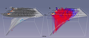 Aux Antilles, la base de données dont dispose Géoazur est exceptionnelle et permet d’envisager la construction d’un modèle en trois-dimensions de la zone de subduction antillaise, avec une résolution kilométrique sur une région de 400 km de long, sur 250 km de large, et jusqu’à 100 km de profondeur. L’objectif du projet est de quantifier la magnitude maximale des séismes qui pourraient affecter les Petites Antilles. Piloté par M. Laigle, ce projet a pu être initié grâce à l’obtention d’une bourse postdoctorale de l’AXA Research Fund par M. Paulatto pour 2 ans, au travers d’une candidature via l’Université Nice Sophia Antipolis début 2014.
TO-EOS - The Tohoku-Oki Earthquake from Earth to Oceans and Space - ANR JC 2011
- Détails
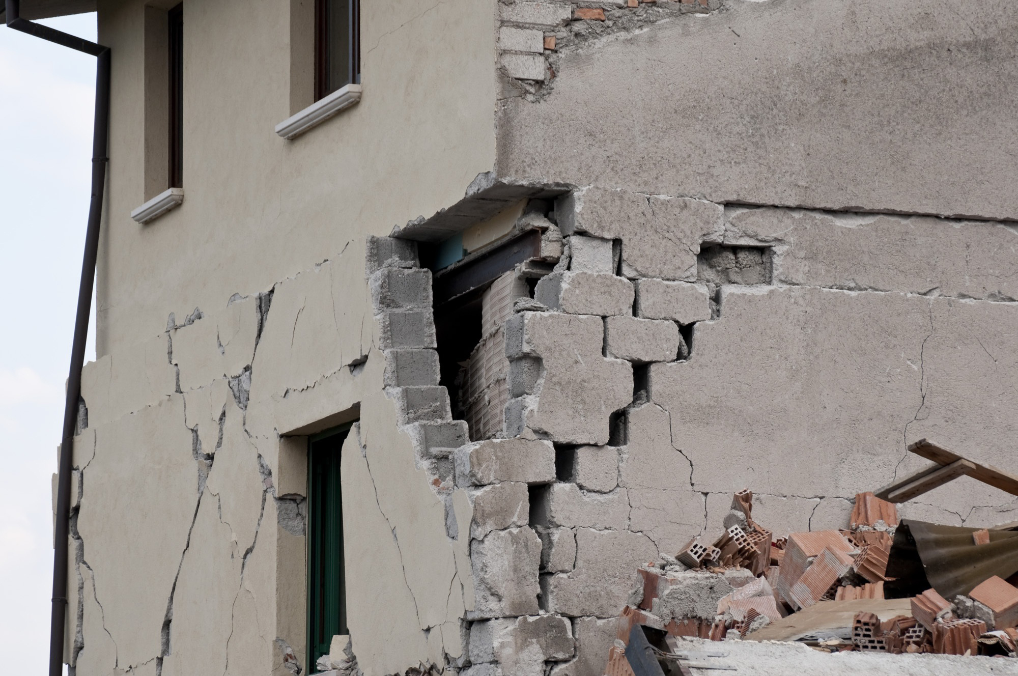
A critical case-study to improve earthquake and tsunami anticipation
A fundamental question raised by the Tohoku-Oki earthquake is to know whether seismic rupture of giant earthquakes can be anticipated either in time (months, days or hours before the rupture), location and/or magnitude, and how, within 10 minutes after the quake, the amplitude of a tsunami can be estimated before it reaches the coast. Over the last decades, scientists have tried to address this question through different approaches, but mainly by (1) trying to isolate potential precursory signals or (2) improving our knowledge of the seismic cycle (how stress and strain balance over several earthquakes) to understand the physical parameters that control the size and location of those large earthquakes. More recently, a third more practical approach was developed called (3) early-warning which takes advantage of the slower propagation speed of seismic or tsunami waves compared to our communication networks to provide at least a few seconds or minutes to anticipate the approaching waves and gauge the threat they represent.
UMR Géoazur
Campus Azur du CNRS
250 rue Albert Einstein
- CS 10269 - F 06905 SOPHIA ANTIPOLIS Cedex
+33 (0)483 618 500

